

Let’s start with a not-so-distant predecessor of this ingenious locating system: GPS. The Global Positioning System is an invention, first utilized just for military purposes, but it was eventually made available to everyone as a public good. GPS is made up of 24 satellites that are positioned in Earth’s orbit and broadcast a radio signal to the Earth’s surface. GPS receivers based on these radio waves can identify their exact position - altitude, latitude, and longitude - anywhere on the earth at any time of day or night, in all weather. GPS is broadly applied as a global service for commercial and scientific reasons such as navigation at sea, land, and air, land mapping, mapping, identifying the precise time, earthquake detection, and so on. While widespread use of this service has already drastically altered the landscape of our world, and as everything improves with time, this service has also undergone various changes that have resulted in improved accuracy.
Unlike GPS, which has an accuracy of 5 to 10 meters, hyper-accurate positioning technology may achieve levels of accuracy of a few centimeters or millimeters. But how?
BeiDou Navigation Satellite System
The new technology that makes it possible to determine the location more precisely, such as the BeiDou Navigation Satellite System (BDS) has a two‐way active positioning system designed to provide regional radio determination satellite services (RDSS), including two‐dimensional position, timing, and short message communication. BDS was built by China, the satellite’s primary coverage area is Asia, and it is equipped with a high-density ground-based augmentation system. As a result, the BeiDou model enhances positioning accuracy and is outfitted with a particular communication satellite, which boosts the brief message interaction function.
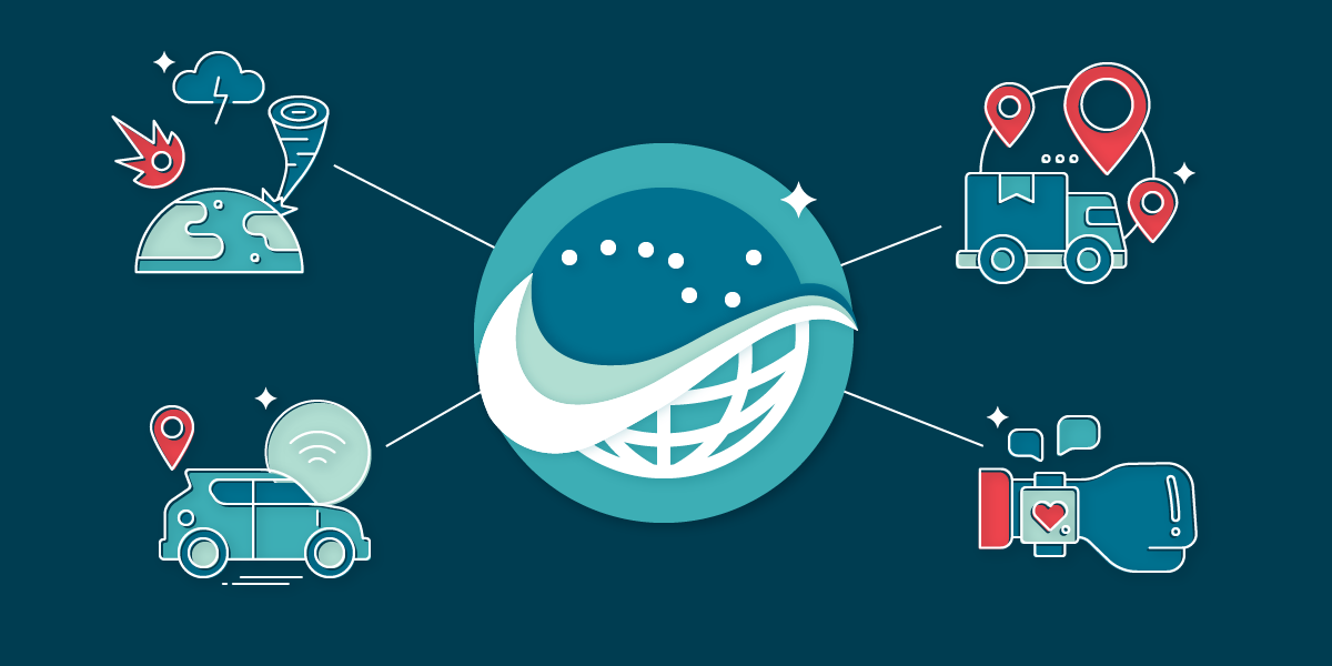
It opens up possibilities for a wide range of applications, including the development of autonomous cars, automated distribution, wearable devices, disaster monitoring, and the creation of new positioning models.
- Autonomous cars
In order for autonomous features in vehicles to operate, the vehicle must be informed of its specific location in a lane, rather than simply being located on a map. It enables vehicles to operate precisely and securely within their immediate surroundings. Sub-meter lane accuracy allows correct positioning of the automobile for autonomous navigation, as well as maintaining its position within centimeters.
- Automated distribution
With such pinpoint accuracy, we can see little robots delivering packages we’ve ordered online right to our front door. Because existing positioning systems are unable to perfectly identify every location, the human aspect in this industry is quite vital at the moment. We shall be able to rely on these little electronic assistants to carry mail as well as online delivery without fear of making a mistake once this hyper-accurate positioning technology is applied to the mainstream market.
- Wearable devices
In order to deliver more thorough and meaningful data to its users, wearables must have incredibly precise location positioning. Professional athletes have benefited greatly from the usage of a traditional GPS system, and the adoption of this new system, which is significantly more precise, will undoubtedly affect sports outcomes around the world. This technology provides a new level of precision even to regular fitness users, and those who want to track their health through their smart devices.
- Disaster monitoring
With this innovation in positioning systems, early warnings of natural disasters are now a prospect, and their application contributes to the saving of both lives and property. We believe this breakthrough has the potential to be one of the most life-saving technologies since these devices can deliver more accurate readings than ever before.
Creation of new positioning models
Real-time Precise Point Positioning (PPP) can also be improved because of recent developments in atmospheric models. PPP is a modern technology that is related to PPP. It just takes one receiver and can be used from anywhere on the planet’s surface, providing users with decimeter- to centimeter-level precision.
Another approach relies on the quantum features of matter to find and navigate an object’s real-time location in scenarios when we know its initial position and can monitor the changes in the atoms using a laser beam.
All of these innovations are calculated and feasible; given time, we will be able to monitor more than ever before and better target our efforts. We want to be able to offer more innovative solutions, and we can do so by utilizing Innovation Cloud as a powerful tool for channeling our creativity into practical answers. Request your demo today and find out how to put your innovation into motion.
